
Into The Crack Of Dawn [21June2013]
Posted: June 21, 2013 Filed under: Beauty, Dublin photos, Life, Odd photos, Weather | Tags: Dawn, Ireland, Lehaunstown, life, Midsummer, Photography, Seasons, South Co. Dublin, Walking Leave a commentA series of photos showing the progress of dawn, not over one day, but at the same time each day from winter to midsummer, as I walk through the fields to work

In the summer of 2012, I found a long deserted pathway through the fields at Laughanstown in south county Dublin, near to a place where I was working at the time. My discovery and first lunchtime amble along the pathway is illustrated in my short story The Melting.
The pathway runs through open fields alongside the LUAS tram line, and I soon got into the habit of taking a daily walk along the pathway, getting off the tram a couple of stops before walk, and happily walking in solitude through fields alive with fresh morning air, only the occasional whirr of a passing tram to disturb the birdsong. A lovely way to start the day, drifting happily in thought and body. Were I a lamb, you might even say that gambolled happily across the meadow each morn.
When winter came, I was loath to give up this pleasure, even when darkness made it more difficult, and started bringing a torch so I could pick my way along the path towards the lights of civilisation – and work – in the far distance. It was cold, dark, and sometimes hard going, but the sense of solitude and the fresh air more than made up for it.

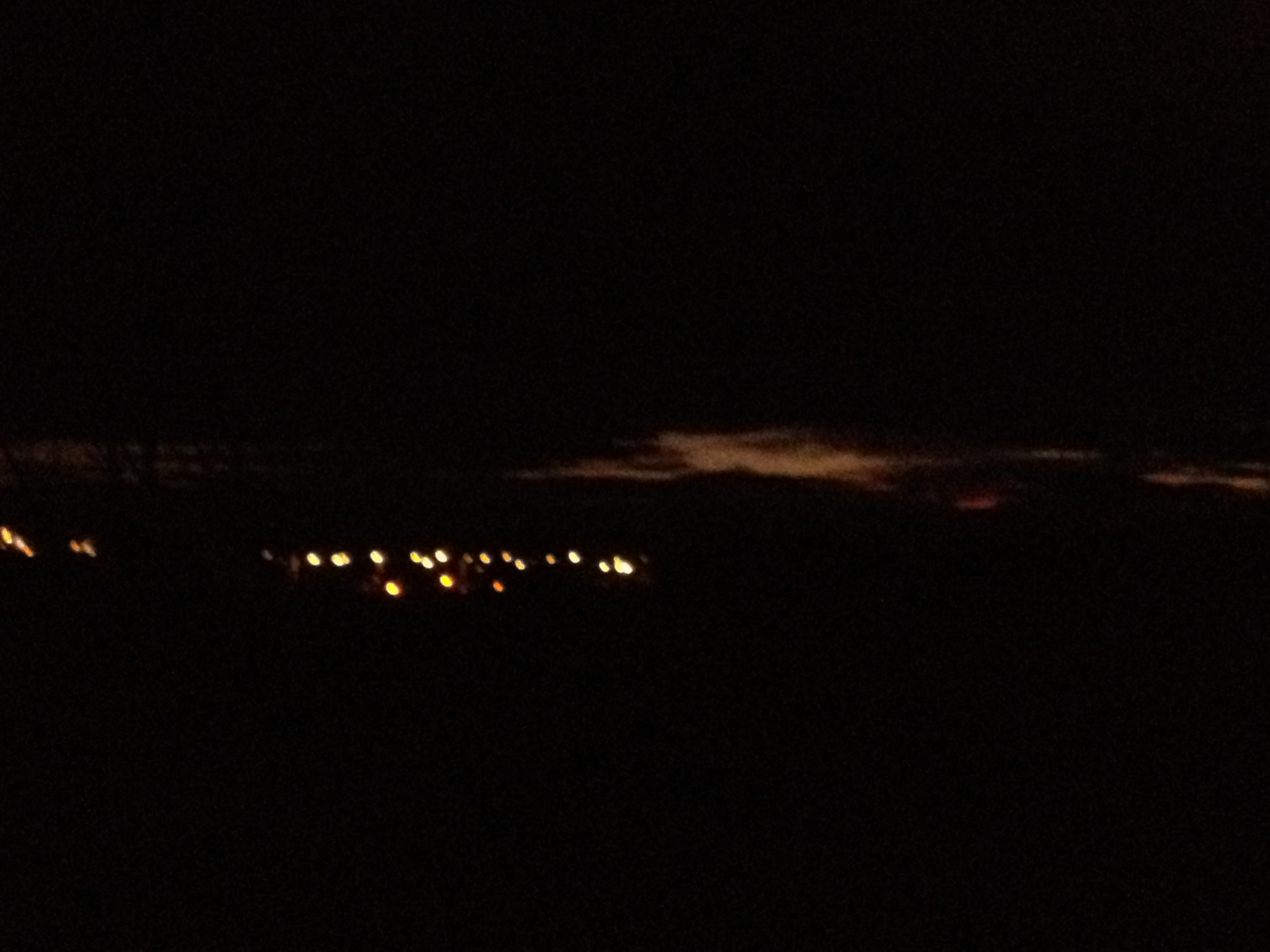
Far from any houses, the blackness was absolute, and one morning (Jan 2nd this year) at 0724 I took a photo to illustrate the darkness of the walk, zooming in on the lights of Tullyvale and Cherrywood in the distance.
The next morning, the blackness was not quite complete – a tiniest sliver of a crack of dawn was visible over distant mountains, and I took another photo to show the difference a day (and two minutes later) had made.
This gave me an idea. As I walked the route at least three days a week, always at the same time (taking the same outbound tram departure) why not take a series of pictures, to catalog how the dark of winter slowly gave way to the dawn of spring, and the daylight of summer as I took my morning walks.
Those first two pictures were taken randomly, and not at exactly the same point, and possibly not covering exactly the same span, but for this project I would need some way of locking my physical location, so that the field of view would be as close as possible to exactly the same in each picture.
So I used a line of electricity pylons to determine the photograph point – they would not be in shot themselves, but when I reached a point on the path where the crosstree of one pylon aligned exactly with the southern edge of another, I would stand in the righthand rut of the track, thus controlling my physical location. I would then line up the second closest overhead wire carrier on the tramway to the rifghthand edge of the photo, and this would ensure I was covering the same area in each shot. Only the vertical plane had no real means of control.
And so, here are some of the results, as we journey from winter to spring, at the same time each morning, give or take a couple of minutes.

A week after my first photos, the 11th of January 2013 at 0724. The difference in the amount of dawn is quite visible, it is still pre-dawn lightening of the sky, but the clear day makes it much more visible. The field and pathway are still in absolute blackness at this time.

January 15th at 0724, another clear morning, apart from a low lying bank of cloud over the distant hills.
 Just a couple of week later, the 6th of February, at 0722. Quite a difference in two weeks – another clear day, but this time the sky is blue, the shapes of things are more visible, and I can see the puddle ahead of me.
 The next day, February 7th at 0724, shows the difference the cloud makes – dawn is at the same point, but no chance of seeing anything on the ground.
 Now this is amazing – it is only two week later, the 21st of February, at 0723, and yet the difference in light, even with a totally overcast day, is amazing. Now everything is visible. To the right is the tram line, heading towards Cherrywood in the far distance. The buildings in the centre of the picture are the apartments of Tullyvale. To the left of them a sliver of the Irish Sea is visible, and then Killiney Hill rises on the left edge of the photo.
 Four days later, the 25th of February, again at 0723, and a different type of cloud cover darkens the scene, but leaves room for a lovely yellow and pink line above lower lying clouds concealing the rising sun.
 The following day, Feb 26th, at 0723, the clouds are different again.

A couple of weeks later again, 7th March at 0723, and it is now pretty much daylight. It’s been raining for days, and the distant hills are lost in soft Irish mist.

The 29th of March at 0728, the sun is fully risen, and hidden behind the clouds, sending lovely shafts of light down onto the sea. The foreground looks darker to the camera due to shooting into the sun, but was bright enough to the human eye.

April 17th at 0724 – no fear of sunlight affecting the camera here, as the weather has turned “Irish” again!
 May 1st at 0725, the dun is shining brightly now.
 The following day, May 2nd at 0725, shows a more dreamy, cloudy skyscape.
And then . .
And then I moved away from that location
but . . .I knew I must come back for midsummer photos.
 The day before mid summer – June 20th at 0722
and finally

Midsummers day itself, though hot and sunny later, was wet and misty early on – June 21st 2013 at 0726.
And now I’m working on the other side of the city, and I don’t get to walk through the fields each morning any more. But thanks to a whim and a sudden inspiration back in the dark days of winter, I have a whole selection of photos of my beloved few moments of morning commune with nature, to go with a whole set of cherished memories.
I hope you’ve enjoyed the trip as much as I have!
Steve
What Lies Beneath – Why Dundrum Town Centre Flooded
Posted: October 25, 2011 Filed under: Dublin photos, Uncategorized, Weather | Tags: Building, Civil Engineering, Dublin, Dublin Floods, Dundrum Town Centre, Geography, Landscape, Rain, Shopping Malls, South Co. Dublin, Water 4 Comments
Steve digs out his photos of the construction of South Dublin’s fashionable (and flooded) mall, and remembers what it was they built on top of . .


- From the front page of Irish Times 25th October 2011 – © Irish Times
The dramatic scenes of water bursting into the upmarket Dundrum Town Centre mall were some of the defining images of the Dublin floods of October 2011, and the front page picture from todays Irish Times shows how badly the centre has been affected. Since its opening six years ago it has been my favourite of the Dublin suburban shopping centres, but its devastation by floods does not surprise me as a local with intimate knowledge of the grography that it replaced.
It could be, in fact, a perfect example of of the boom years building frenzy taken to its logical consequences, as the building of hundreds of apartments close by in the following years helped seal its fate.
The village of Dundrum has always perched on a slope at the bottom end of a narrow valley, with a good-sized stream (or small river) running through it. Various complexes lined the high ground on one side of the valley – the old PYE Television factory, later industrial estate, the 1970s original Dundrum Shopping Centre, and the old H Williams store at the southern end (which became Super Crazy Prices, and then Tesco). But the bottom of the valley and the river was always left pretty much wild, and I used to roam along its length in my childhood years, fancying myself as a fearless explorer as I waded upstream and forced my way through undergrowth.
In more recent years, as I made my way to work on a sluggish 48A in 2000 and 2001, the glimpse of the stream surrounded by green land as we crossed over the valley on the Ballinteer Road bridge just before the crossroads always gave a little glimpse of forgotten rural idyll. Until the day the bulldozers moved in, and they started building.

Dundrum bypass and Dundrum Town Centre under construction
Here is a shot I took sometime during 2001 or 2002 which shows both Dundrum Town Centre and the Dundrum Bypass under construction. The picture is taken from a temporary pedestrian bridge over the valley errected during the period when Ballinteer Road was closed to traffic as a new, wider road bridge was built complete with car-park ramp downwards into the centre.
On the left is where Dundrum Town Centre now stands, and you can see the spot where the underground car-parks and delivery section join the bypass.
The valley floor has been leveled, and the stream boxed in, ready to be buried underneath the new development in a culvert.
When this photo was taken, it had been dry for a good period, and the stream was low, however it often ran much higher in wet periods. Nevertheless, the culvert once roofed would seem more than proof against even a four or fivefold increase in flow during very rainy periods.
However, in the years following the completion of the centre, hundreds if not thousands of apartments in dozens of new developments were built upstream, with much of the run-off from all these acres of new concrete flowing into the stream or the local drainage system. The huge flow of water from the Ticknock Hill development alone can be seen during wet periods cascading down a series of steps beside the M50 junction, and into the watercourse of this stream. Plus, all of the green land that lay undisturbed in this little valley is now built over, no longer able to absorb rainfall and run-off.
In the exceptional rainfall of the last 24 hours, when a months rain fell in a day, once the culvert was at full capacity, where else could the water go?
I’m not saying the planners failed here, this is an exceptional event, but perhaps, when we have building booms in future, we should be looking at things like runoff in the context of what else will be built in the area later, and planning for “once in 80 year” events.
Yes it will cost. But as much as the damage that now needs to be made good?
Steve
